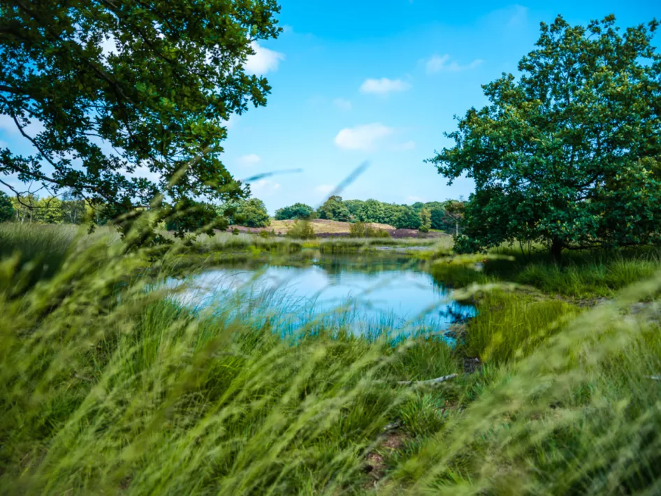
Explore the Melickervenroute: A beautiful 4.5 km walk
Explore the Melickerven Route, a 4.5 km hike that takes you through this beautiful area. Below you will find helpful information to follow the route and where to get the map.
Follow the red colored triangles on the walking junction network
To follow the Melickervenroute, you can use the walking junction network Roerdalen. Pay attention to the red colored triangles on the poles of the network. These markings lead you along the correct paths and ensure that you can effortlessly follow the route.
Starting point: Parking place Manege Venhof
The starting point of the Melickervenroute is located at the parking lot of Manege Venhof. From here you can immediately start your hiking adventure through this beautiful nature reserve.
Get your map at the VVV locations or in the webshop
To prepare yourself well for the Melickervenroute and to discover other routes in National Park De Meinweg-Leudal, you can obtain the map of the park. This map is available at various VVV locations and also online in the webshop. With no less than 27 routes, the map offers a wealth of opportunities to explore this beautiful area.
Experience an unforgettable adventure
With the Melickervenroute you get the chance to experience an unforgettable adventure. Discover the natural treasures of the area, follow the markings of the walking network and enjoy the peace and serenity of National Park De Meinweg-Leudal.
