Picnic area Kempen-Broek

Bocholterweg
Weert
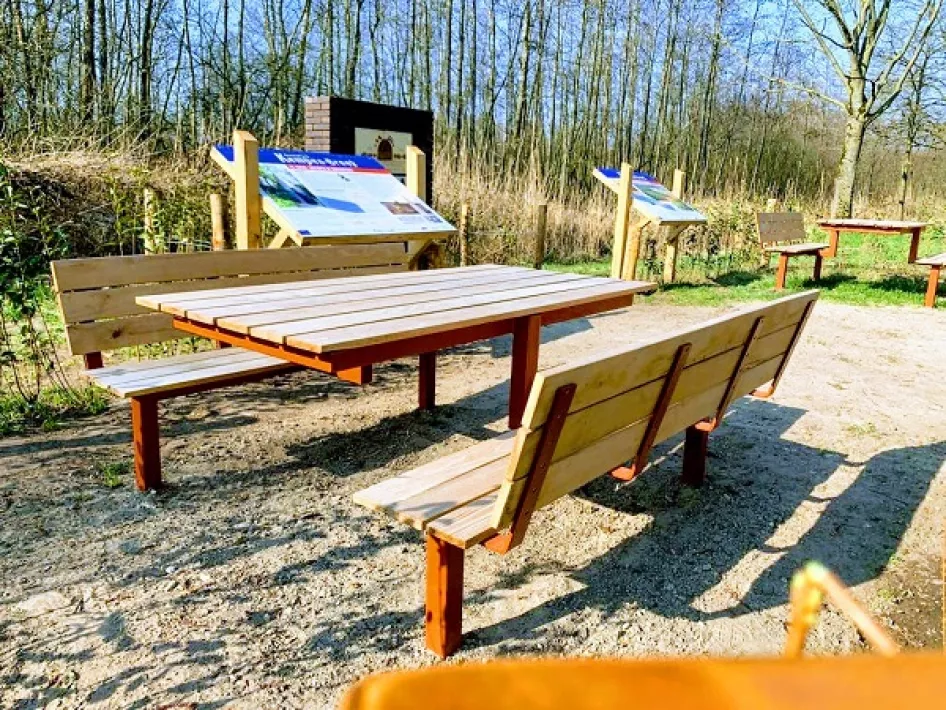
Picnic area
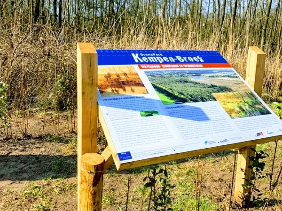
information board
information board

Places of interest

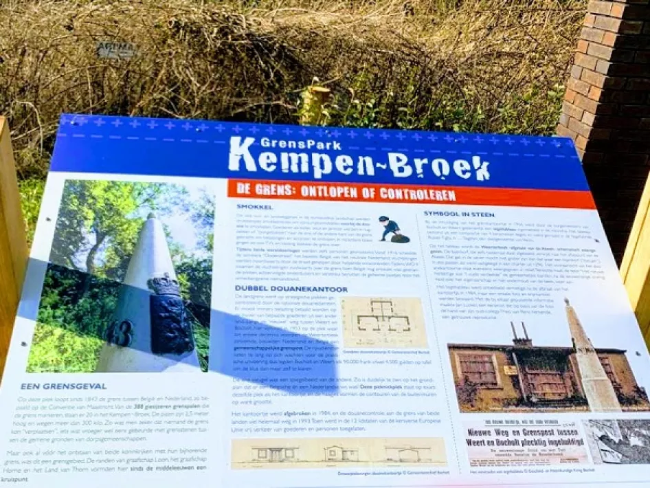
On the border of the Belgian Bocholt and Weert, a picnic area was opened on Wednesday afternoon 23 March. The opening of this picnic spot is part of the project "Border Cases".

Weerterbeek

The picnic spot is at the location where the Weerterbeek or Bocholterbeek used to flow. This is a man-made canal from the late Middle Ages. During this time Weert grew into a city. This growth was too fast for the water supply, which could not keep up. Later on, a branch was dug in the higher Abeek.

Border post

At the picnic area, there are two information boards that tell you more about the area. There is also a reproduction of the plaque that was on the façade of the former border post. This border post has been demolished, but the contours have been fenced off with hedges.

Climate buffer

The picnic area is in the middle of climate buffer Wijffelterbroek, Kettingdijk and Smeetshof. A location with a rich history and beautiful nature. A lovely place to take a break during a walk in the nature reserve.
Nearby

The distances mentioned below are the distances from the location above.

 
1,95km
Walking/hiking routes
 
1,95km
Restaurant
 
2,08km
Restaurant
 
 
2,27km
Walking/hiking routes
 
3,11km
Walking/hiking routes
 
3,13km
Walking/hiking routes
 
4,78km
Cycle route
 
 
5,09km
Walking/hiking routes
 
5,09km
Walking/hiking routes
 
5,09km
Walking/hiking routes
 
5,09km
Walking/hiking routes
 
5,09km
Walking/hiking routes
 
5,26km
Restaurant
 
5,30km
Walking/hiking routes
 
5,33km
Restaurant
 
5,78km
Cycle route
 
 
6,42km
Cycle route
 
6,93km
Walking/hiking routes


6,99km
Walking/hiking routes
 
7,12km
Restaurant
 
7,17km
Cycle route
 
7,21km
Restaurant
 
7,43km
Lunchroom
 
7,43km
Restaurant
 
7,44km
Walking/hiking routes
 
7,45km
Cycle route
 
7,46km
Walking/hiking routes